GIS and Remote Sensing (RS) in agriculture
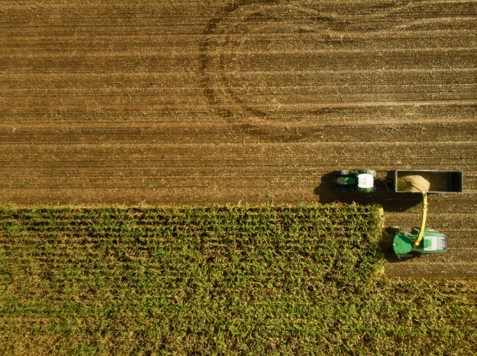
GIS and Remote Sensing (RS) in agriculture provide data-driven insights for precision farming, using satellite, drone, and aerial imagery to monitor crop health, soil conditions, and water usage. By visualizing spatial data such as topography and nutrient levels, GIS assists in managing resources, while RS offers real-time analysis of vegetation (e.g., NDVI) to optimize yields and reduce environmental impacts.